Warnings have been downgraded for fires burning in multiple states but emergency services are urging caution as hot, gusty conditions continue.
A grassfire in central Victoria’s Willowmavin was burning out of control on Saturday evening but an emergency warning for residents to take shelter had been downgraded to advice level.
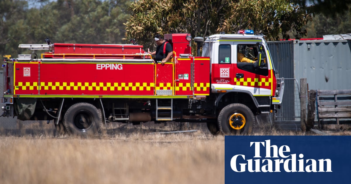
More than 30 emergency units including air support had been fighting the blaze between Lancefield and Kilmore, north of Melbourne, on Saturday afternoon.
“Thankfully, at the moment, the quick response of crews has meant that those fires have been kept reasonably small,” State Control Centre spokesperson Luke Hegarty said.
With a cool south-west change not expected until Sunday, authorities have declared a total fire ban in the North Central and Central Districts.
“For the next 24 hours, we are expecting things to remain hot and windy, particularly into the evening,” Hegarty said.
“That does mean that overnight, warm and windy conditions will mean that any fires that start this afternoon or at the start overnight have the potential to spread.”
Residents were warned to shelter indoors as bushfires burn in three states.
Extreme fire danger and total fire bans were declared for much of South Australia and Victoria, including Melbourne, as hot and dry winds bring sweltering temperatures to the region on Saturday.
An emergency warning for a bushfire burning in South Australia’s Paris Creek has been downgraded to advice level, with residents urged to monitor conditions.
Forecast temperatures were between six and 12C above average in many places for Saturday, with expected maximums of 39C in Adelaide, 36C in Melbourne, 30C in Canberra and 29C in Hobart, ending a run of mild weather.
While Sydney’s forecast maximum was 27C with a possible shower, inland New South Wales was expecting maximums of 39C and 40C in some areas, and temperatures were tipped to climb into the low 40s in some parts of SA.
The hot and dry winds blowing down from the centre of the continent also bring the possibility of dry lightning, which may spark new blazes.
Angus Hines, senior meteorologist at the Bureau of Meteorology, said the heat and wind made conditions particularly dangerous for fire.
“Existing bushfires, as well as any new ignitions that begin today, can spread quickly and behave erratically, making them difficult to contain,” Hines said.
Western Victoria has already suffered through a number of bushfires this summer, with the Grampians/Gariwerd and Little Desert national parks, and populations including Halls Gap and Dimboola, particularly affected.
The Grampians fires have burnt 136,329 hectares (337,000 acres) of park and private land. As of Friday they were all under control.
Bushfires have also been burning in Tasmania’s north-west since early February, with the popular Overland hiking route closed to visitors due to ongoing fires, and a number of other blazes still active near the west coast.
A total fire ban was declared for the state for Sunday, due to what State Fire Commander Matt Lowe on Saturday called “a dynamic weather situation forecast for the next 48 hours” and significant resources already dedicated to fighting the complex of fires in the west.
Lowe advised residents in Tikkawoppa, Pieman Heads, Colonial Rocks and surrounds to review their bushfire safety plans and be prepared to take action.
“At this stage the Canning Peak bushfire remains our main concern. Water-bombing activities are continuing today on the fire, and the combined area burnt is more than 94,500ha,” Lowe said.
“We have more than 150 firefighters, eight bulldozers and 14 aircraft. 41 interstate and international remote area firefighters, and aircraft specialists are also continuing to assist, and we have strike teams pre-positioned at strategic locations across the state ready for a rapid response if required. We will relocate resources as conditions and situations change.”
Hines said on Saturday that relief from the heat would move through SA late on Saturday before crossing Victoria and Tasmania on Sunday morning.
“By lunchtime on Sunday, milder weather will have set in for these southern states, although NSW and ACT will still experience above average temperatures until early next week,” Hines said.
Meanwhile, tropical lows off the coasts of Queensland and WA threaten to develop into cyclones, one of which could bring more rain to already flood-affected areas along the Queensland coast.
A low a few hundred kilometres east of Cairns over the Coral Sea was drifting slowly eastwards away from the Queensland coast as of Saturday morning.
“This system has a high chance of developing into a tropical cyclone on Sunday night or early next week,” Hines said. “If it does develop, it’s not likely to move anywhere quickly, lingering in the Coral Sea for several days. This could bring some gusty conditions, showers and increased swell to the central and northern Queensland coast, but otherwise, will have minimal impact on our weather.”
Later in the coming week the system may move to the south-east, away from Australia, with its impact weakening.
“But there is definitely still a chance that late in the weekit could veer towards Queensland, bringing stronger weather impacts to parts of the Queensland coast,” Hines said.
A second tropical low was sitting more than 500km north of the WA coastline in the Indian Ocean and moving west, away from the country.
“This system has a high chance of tropical cyclone development from Monday onwards,” Hines said. “If it forms into a tropical cyclone, it’s highly likely to continue moving west for several days, meaning little to no impact for mainland Australia and even the offshore islands in the Indian Ocean.”
It was most likely to veer south and weaken, well away from the WA coast.